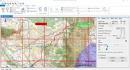
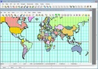
OkMap is a program that lets you download free digital maps and create your own to use on your GPS or Android device. It has several features and functions that are bound to suit whatever it is you are looking for.
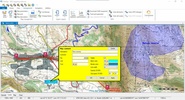
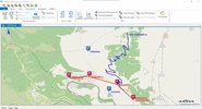
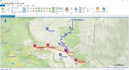
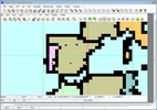
OkMap can be used on your GPS and Android device and lets you create tracks on the map with statistics and graphs. Whether you are a professional or simply enjoy spending time doing outdoor sports, OkMap is an app that lets you plan your own routes, as you can work them out from your PC and plan your trip. OkMap can also import vectorial data from the most common formats as well as altitude data.
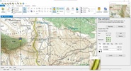
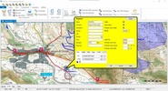
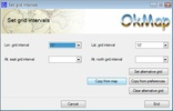
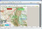
All the OkMap functions mean that you can organize your routes, set up reference points and upload all the data to your GPS. OkMap automatically calculates the altitude data and estimated travel time. On the whole, this program offers many possibilities. But don't worry if you have little geographical knowledge; you can also use it simply to plan and follow a route with your GPS, without complicating things for yourself.
So, whether you are an expert in digital maps or you simply enjoy outdoor sports, download OkMap now and begin creating your own routes.
Comments
There are no opinions about OkMap yet. Be the first! Comment